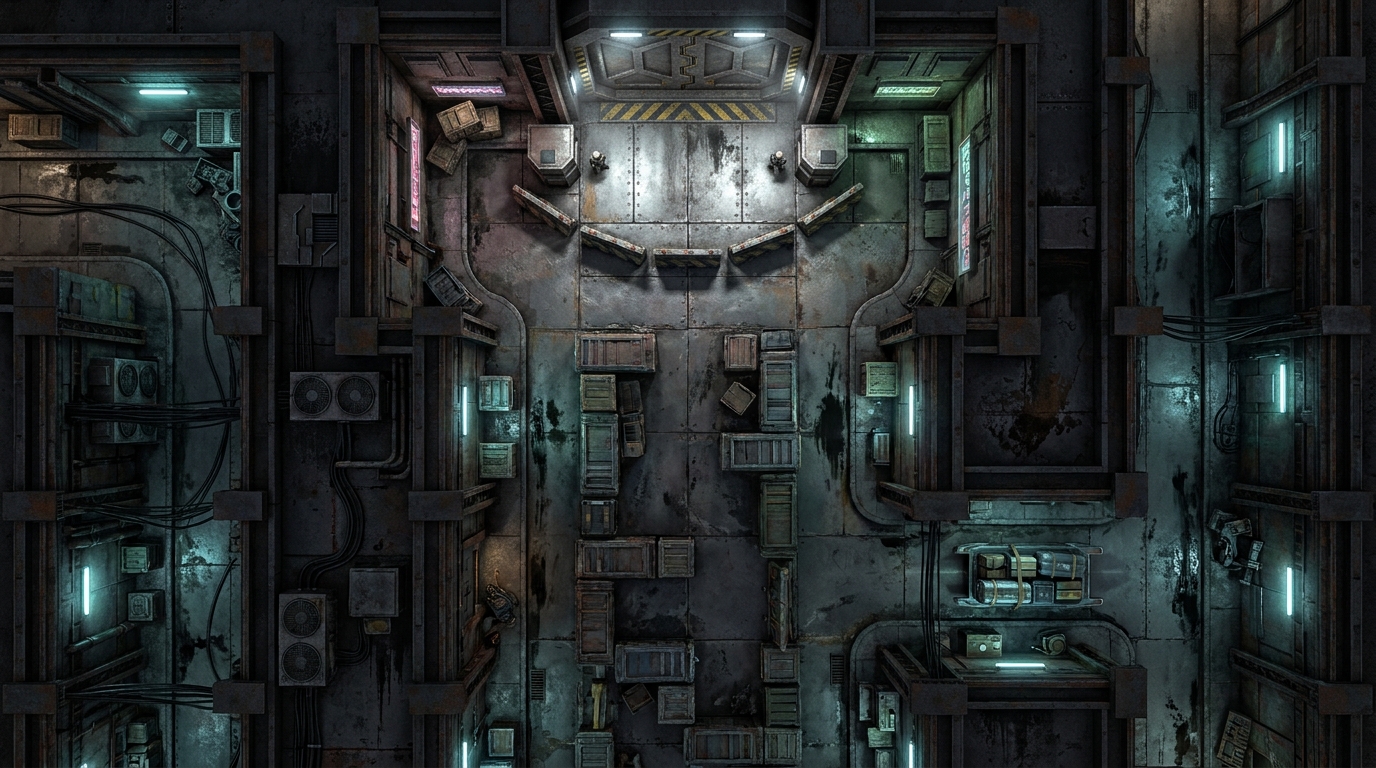
This breathtaking aerial race track zigzags through the elegant white spires of a massive metropolis suspended in the clouds. The map features multiple elevations, sharp banking turns, and narrow straightaways designed to test the reflexes of the most skilled hovercraft pilots. Crowded observation platforms border the perilous course, offering structural cover but also presenting dangerous collision risks for off-course vehicles. Tactically, the map provides dynamic hazards such as unpredictable atmospheric crosswinds and tight chokepoints between the towering architectural structures. VTT users can leverage lighting to simulate the glare of the high-altitude sun, while line-of-sight is frequently broken by the massive pillars and VIP viewing boxes scattered along the flight path.